

Real Applications for Government and Industry

Utilities and Infrastructure
Powerline, dam, solar, and pipeline inspection without shutdowns.
Early fault detection through thermal imaging.
Proven to reduce inspection costs by up to 60% across Queensland’s energy sector.

Surveying, Mapping, and Smart Cities
High-accuracy photogrammetry and 3D mapping for councils and infrastructure projects.
Used by Moreton Bay and Brisbane City Councils for digital twin development and asset management.

Environmental and Wildlife Monitoring
Habitat surveys and koala detection in dense canopies (thermal).
Waterway pollution and vegetation health mapping.
Supported by QPWS and university research programs across QLD and NSW.

Public Safety and Disaster Response
Rapid assessment during floods, cyclones, and bushfires.
Thermal detection of stranded individuals or hot spots post-event.
Used by councils and emergency services for damage mapping and recovery coordination.
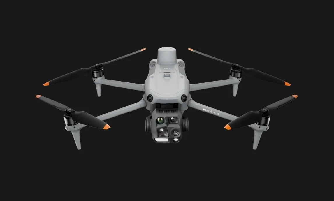
Multi-Sensor Payload: Integrated wide camera (20MP), zoom camera (up to 56× hybrid zoom), laser rangefinder (up to 1200m), and thermal camera (640×512 px).
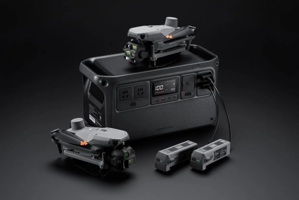
All-Weather Performance: IP54 rating with up to 50 minutes of flight time, capable of withstanding Queensland’s heat, humidity, and coastal winds.
Smart AI and Mapping: Advanced obstacle sensing, AI-assisted subject tracking, and automated flight missions for consistent data capture.
RTK Precision (optional): Centimetre-level accuracy for surveying, inspection, and georeferenced data.
Seamless Connectivity (optional): Compatible with DJI FlightHub 2 and SDK support for custom integrations or ROS-based applications.
DJI MATRICE 4T Specifications
Wide-Angle Camera
1/1.3″ CMOS, 48MP Effective Pixels, f/1.7, Format Equivalent: 24 mm
Medium Tele Camera
1/1.3″ CMOS, 48MP Effective Pixels, f/2.8, Format Equivalent: 70 mm
Tele Camera
1/1.5″ CMOS, 48MP Effective Pixels, f/2.8, Format Equivalent: 168 mm
Laser Range Finder
Measurement Range: 1800 m (1 Hz); Oblique Incidence Range (1:5 Oblique Distance): 600 m (1 Hz) Blind Zone: 1 m; Range Accuracy (m): ± (0.2 + 0.0015 × D)*
Infrared Thermal Camera
Resolution 640 × 512, f/1.0, Equivalent Focal Length: 53 mm, Uncooled VOx Microbolometer, Supports High-Res Mode
NIR Auxiliary Light
FOV: 6°, Illumination Distance: 100 m
Not sure if you need the 4T or the 4E, here is a comparison:

Why Choose AiRS Automation
AiRS Automation is an Australian robotics and AI integration company supporting government and industry clients nationwide. We provide:
Local supply and maintenance support
CASA compliance guidance and operator training
Custom payload integration (e.g., gas sensors, multispectral cameras, or ROS-compatible systems)
Full lifecycle support from procurement through to mission deployment