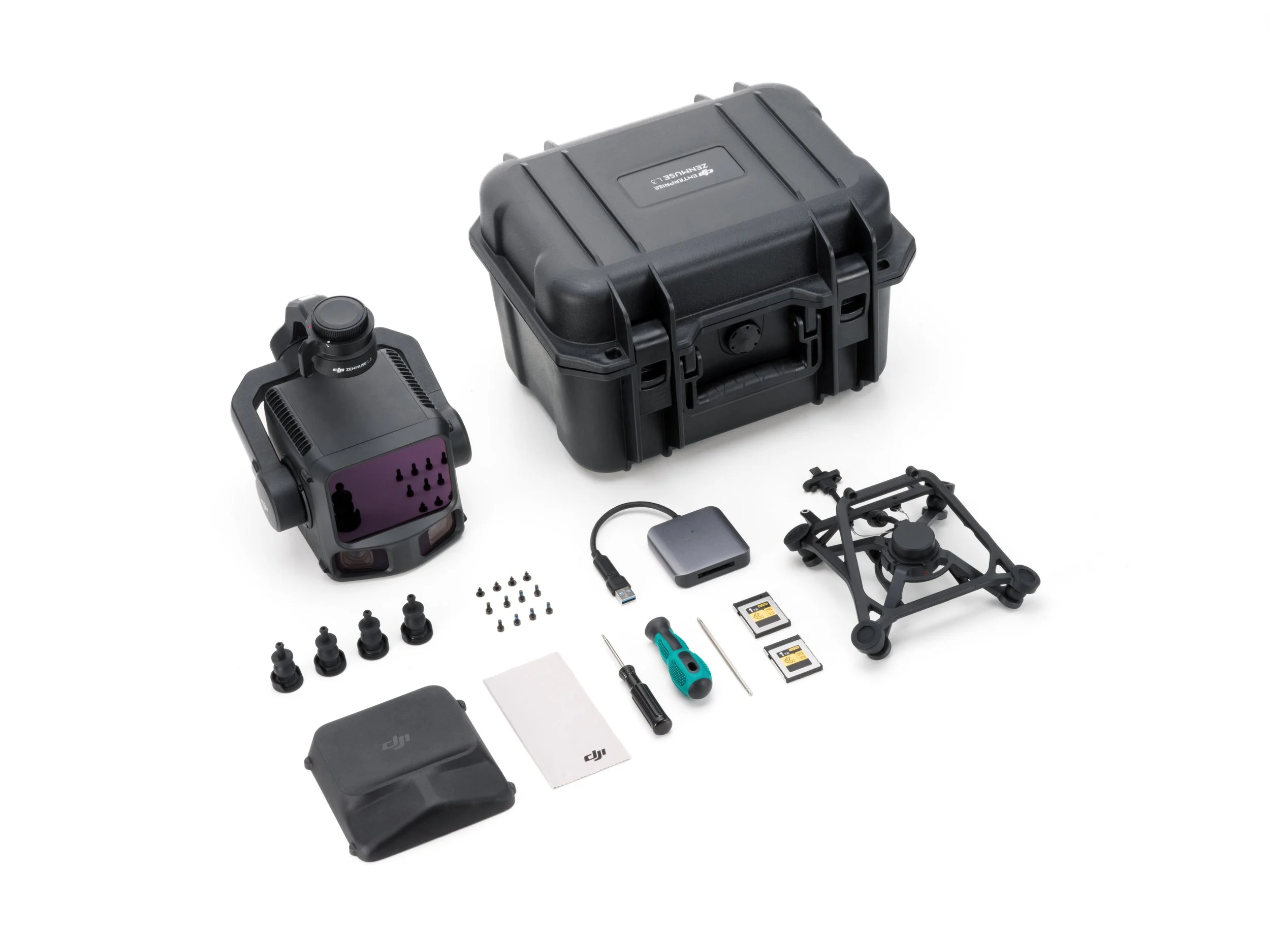


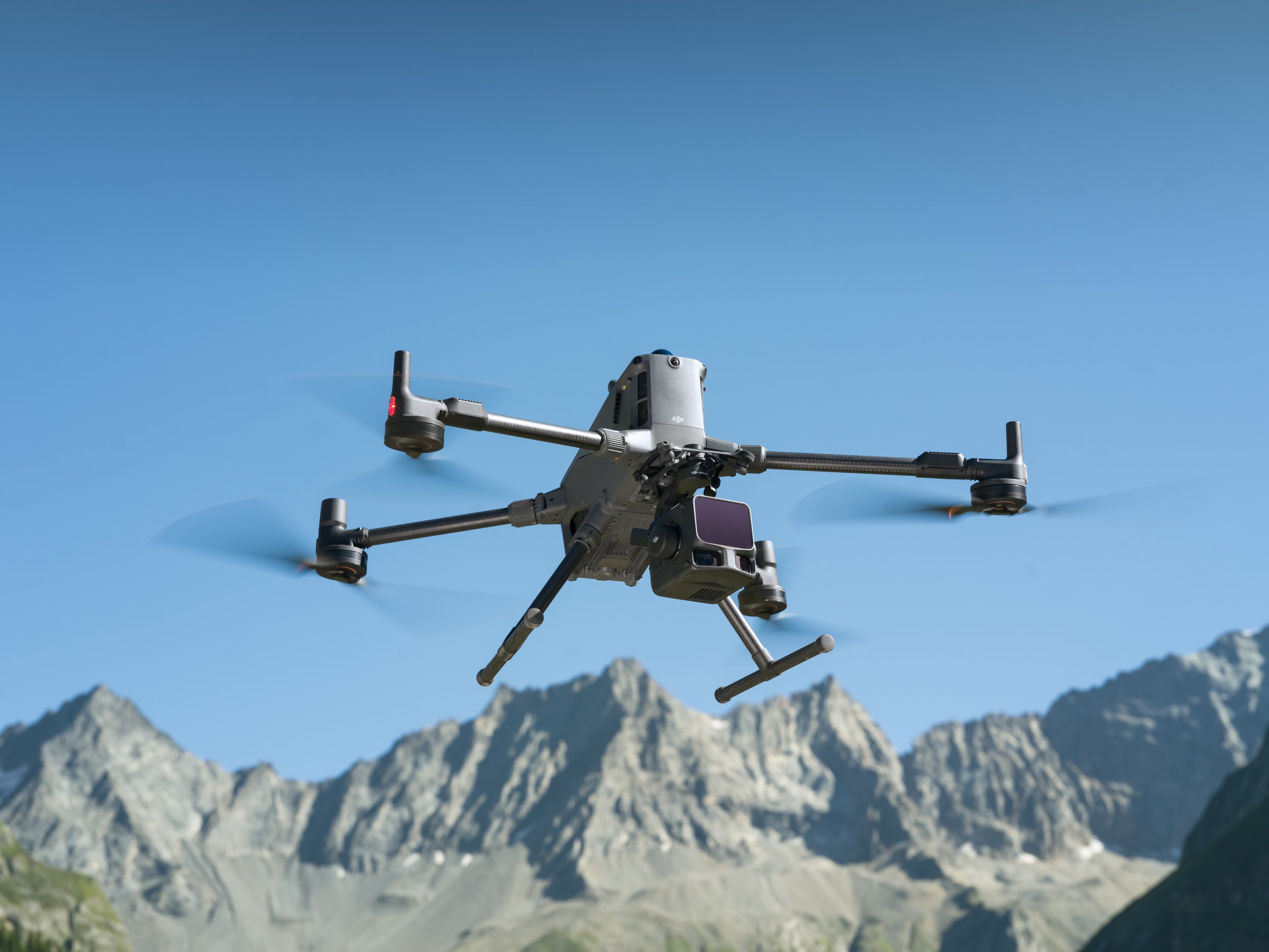
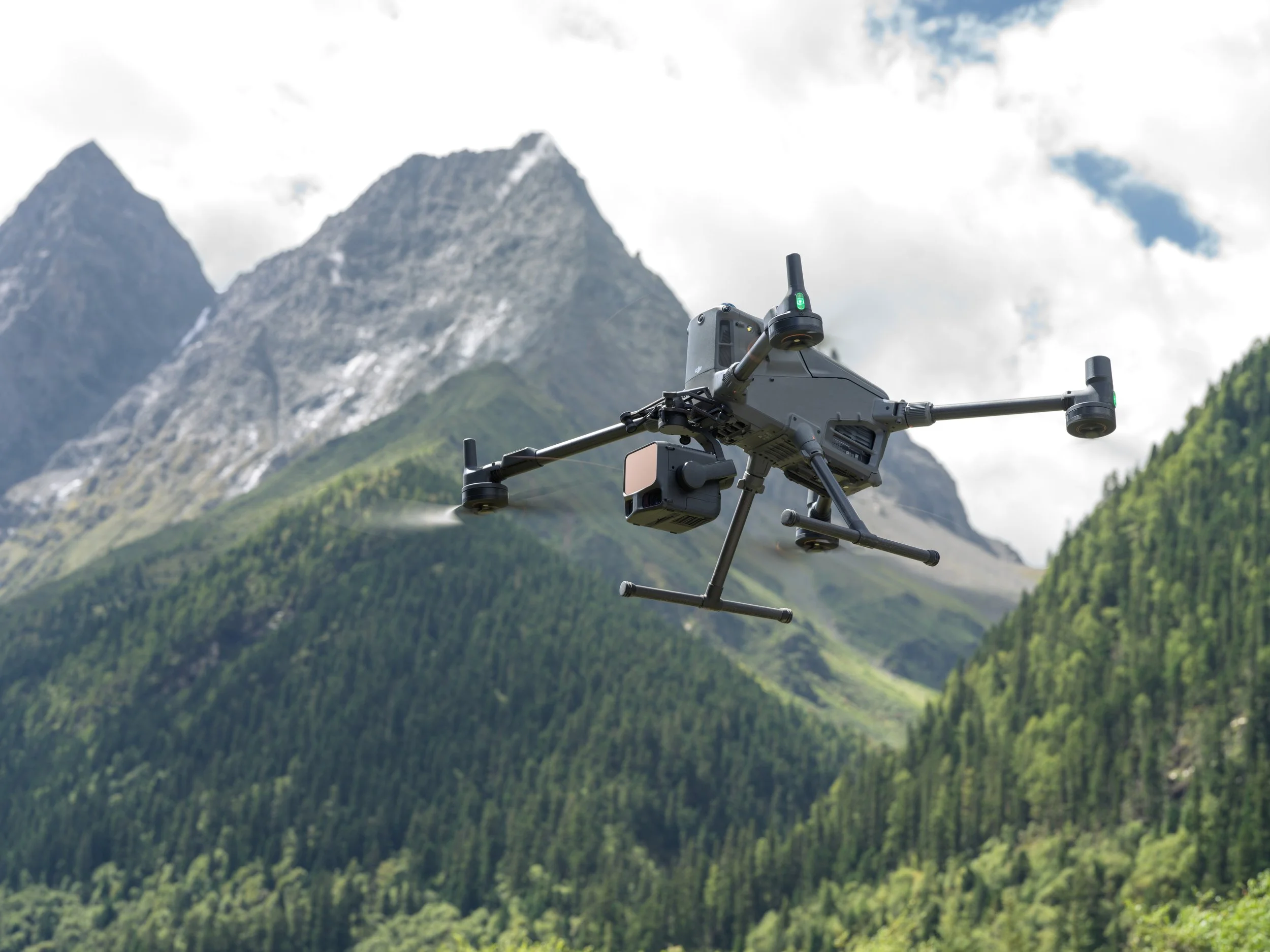
Key Features
Key Features
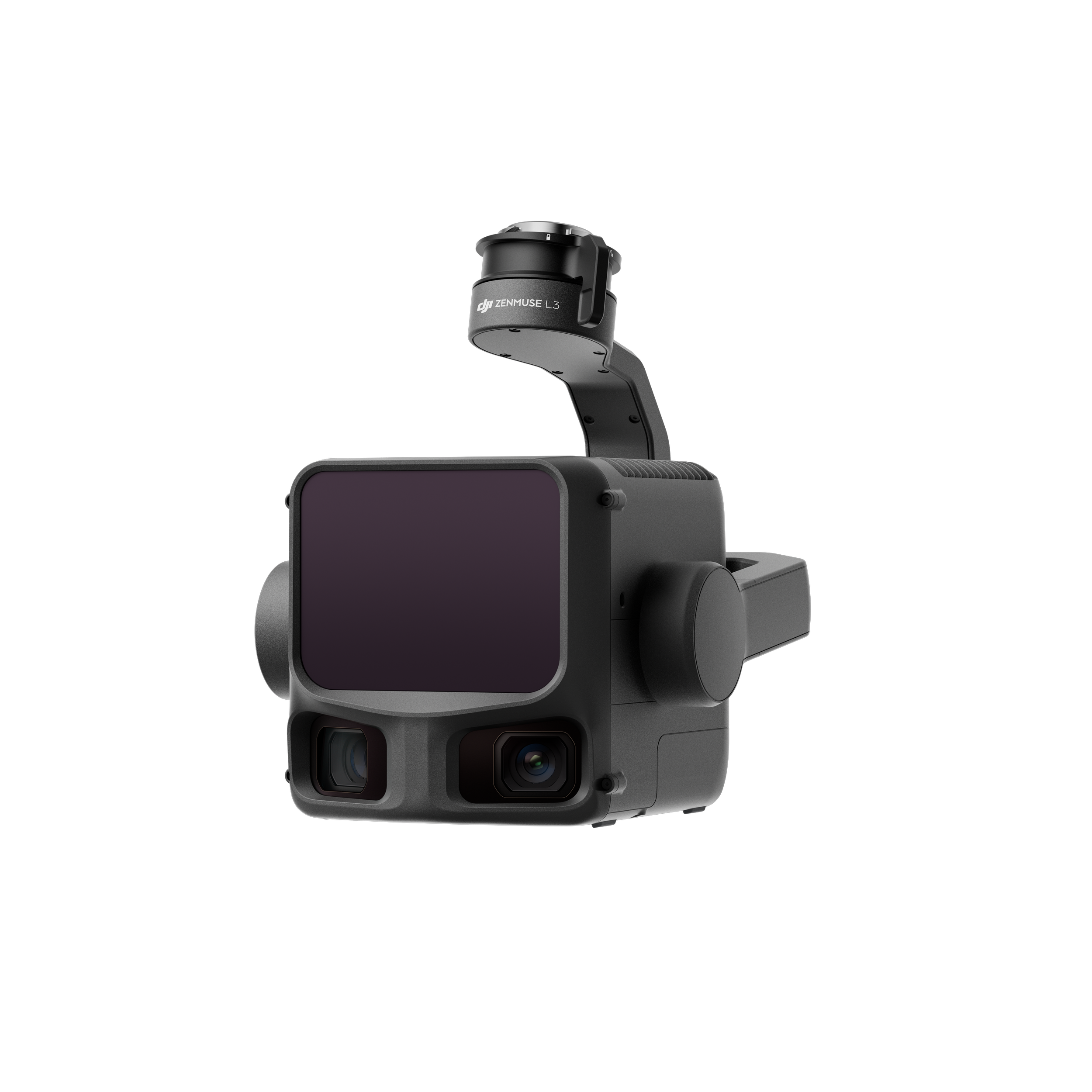
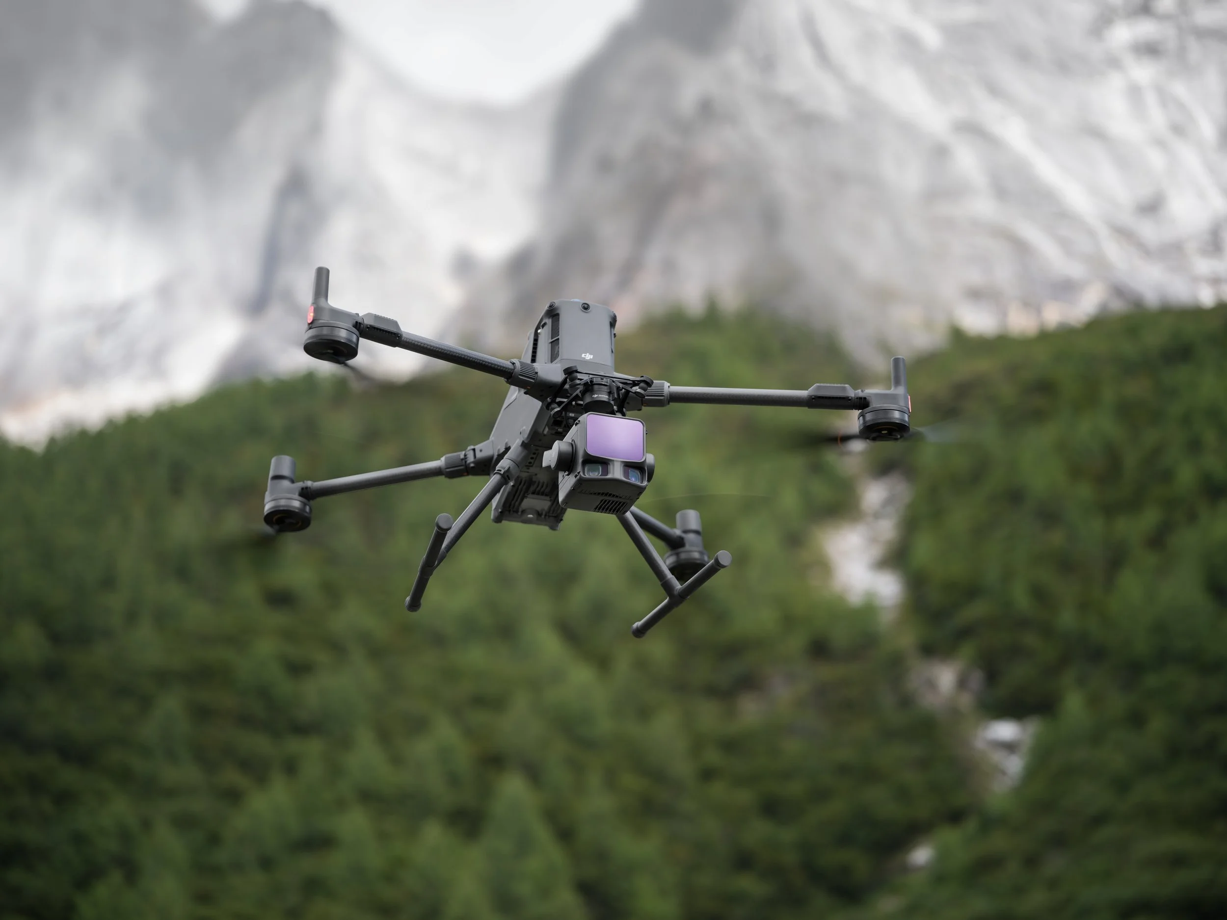
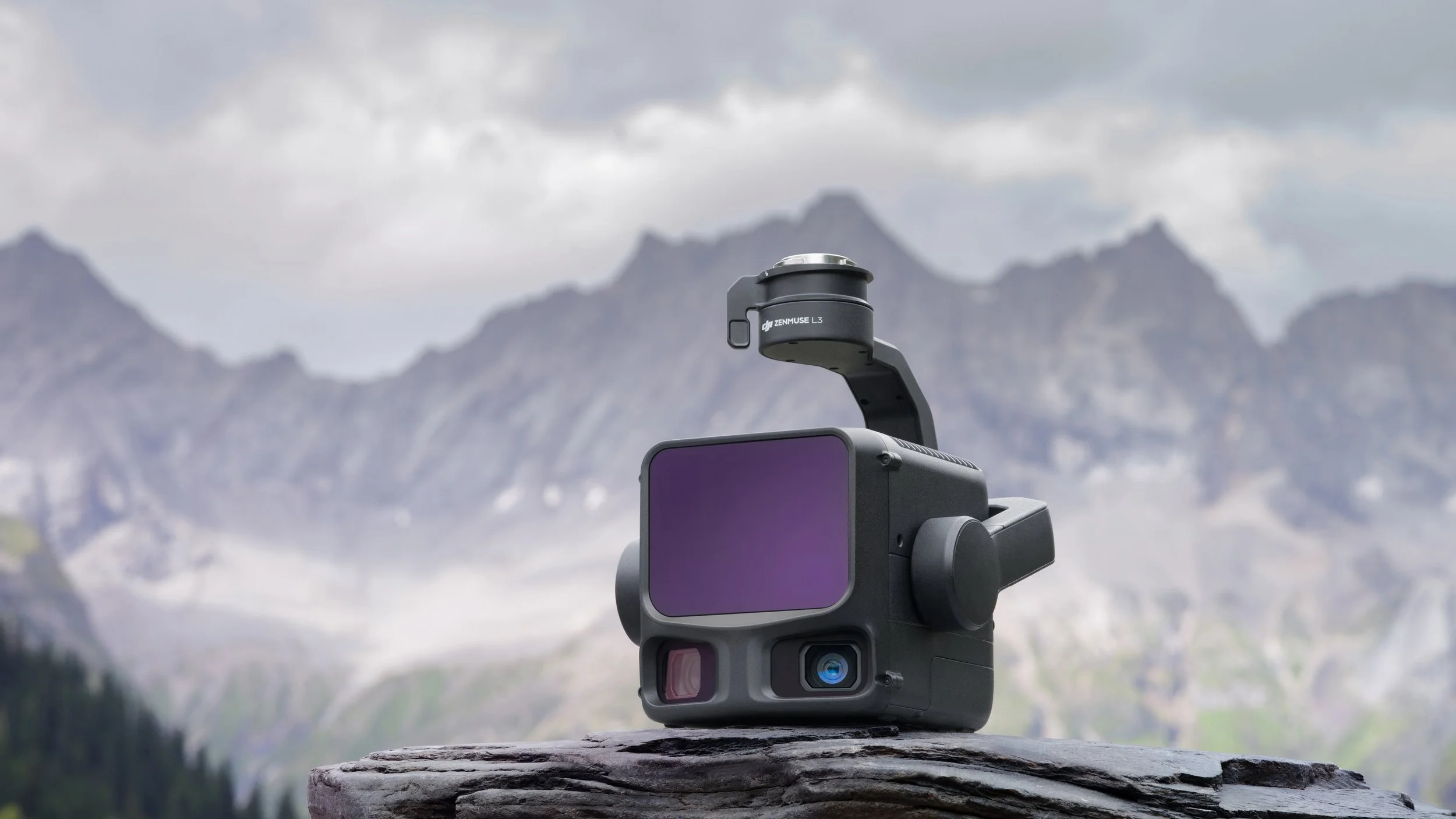
⚡ Ultra-Long-Range LiDAR
1535 nm eye-safe laser with detection range up to 950 m (10 % reflectivity).
Captures up to 16 returns per pulse, providing dense data through vegetation and complex terrain.
Vertical accuracy of < 3 cm at 120 m AGL in standard conditions.
Optimised scanning efficiency covering up to 100 km² per day with the M400 RTK platform.
Benefit: Achieve accurate terrain, stockpile, and infrastructure models in fewer flights — saving time, battery, and labour.
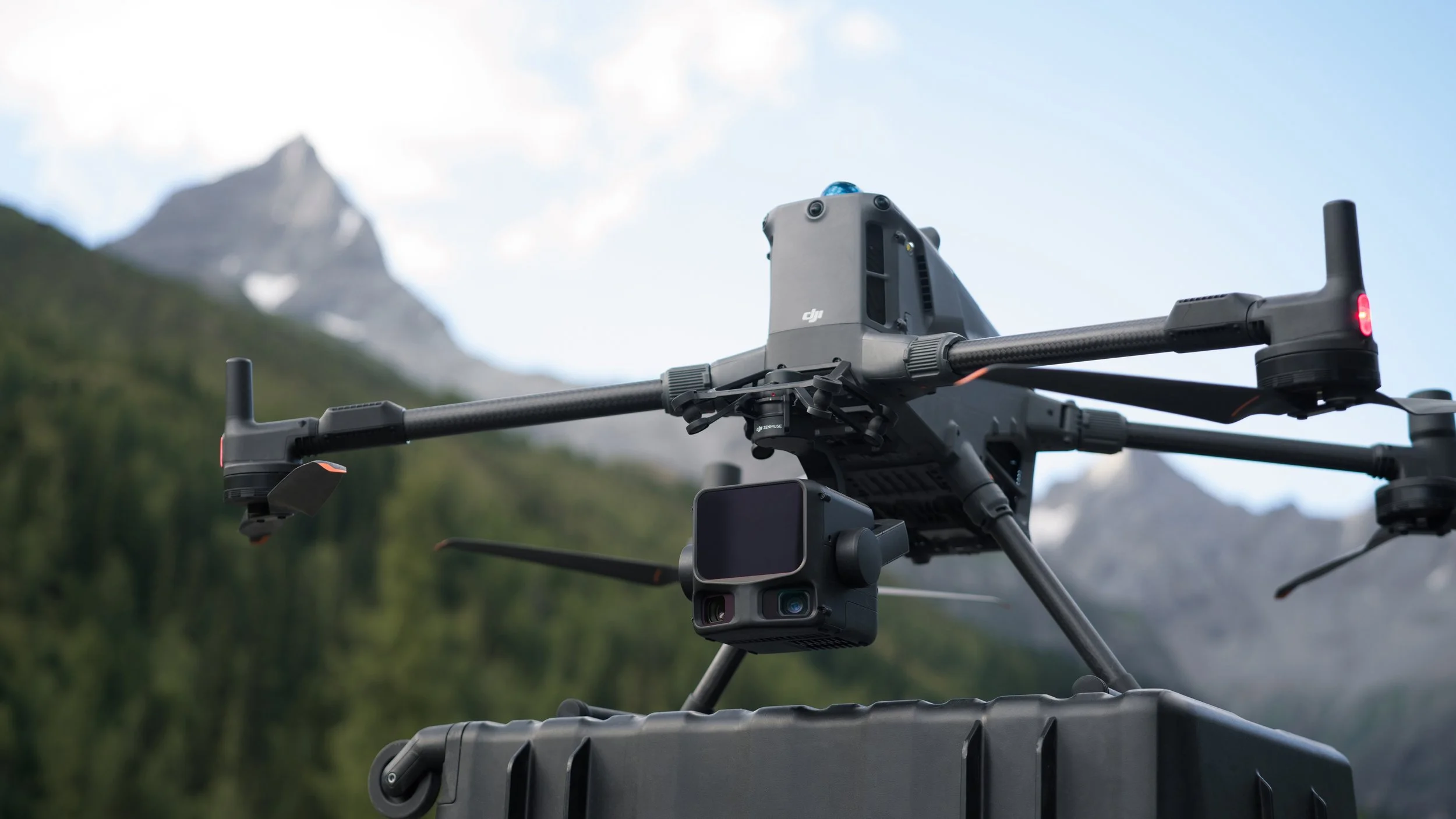
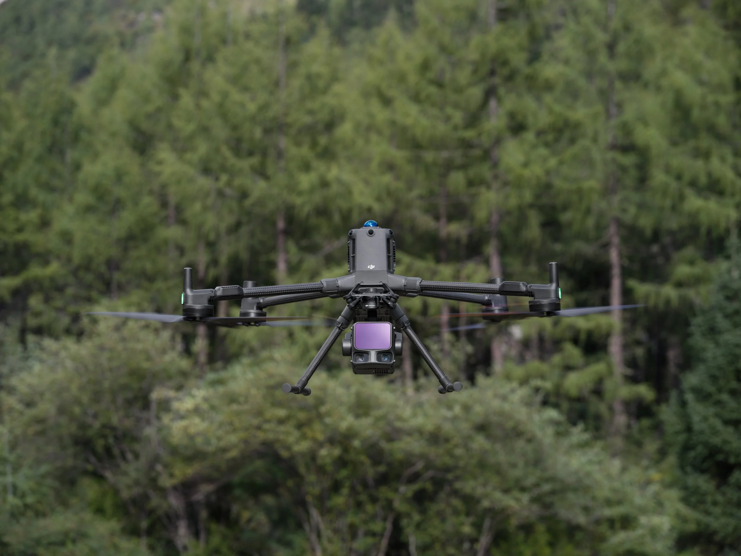
📷 Dual 100 MP RGB Mapping Cameras
Two 100 MP RGB sensors with a combined 107° field of view.
Capture colour imagery aligned perfectly with LiDAR point clouds.
Approximate ground sample distance (GSD) of 3 cm at 300 m altitude.
Benefit: Generate LiDAR point clouds and photogrammetry datasets simultaneously — no need for separate mapping flights.
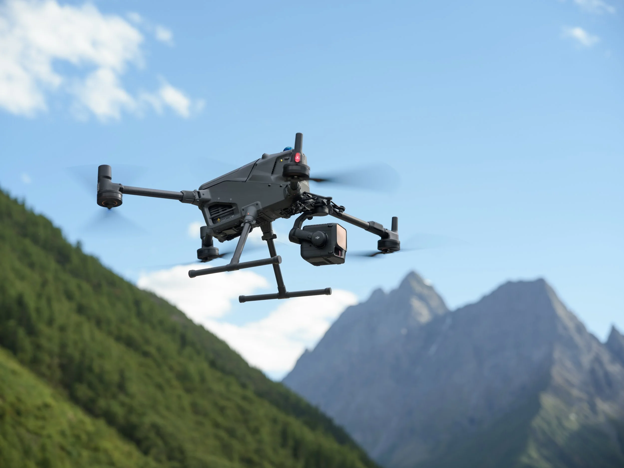
🧭 Precision, Integration & Workflow
Seamless compatibility with DJI Matrice 400 RTK via SkyPort 3.0.
Fully integrated with DJI Pilot 2, DJI Terra, DJI Modify, and FlightHub 2 software.
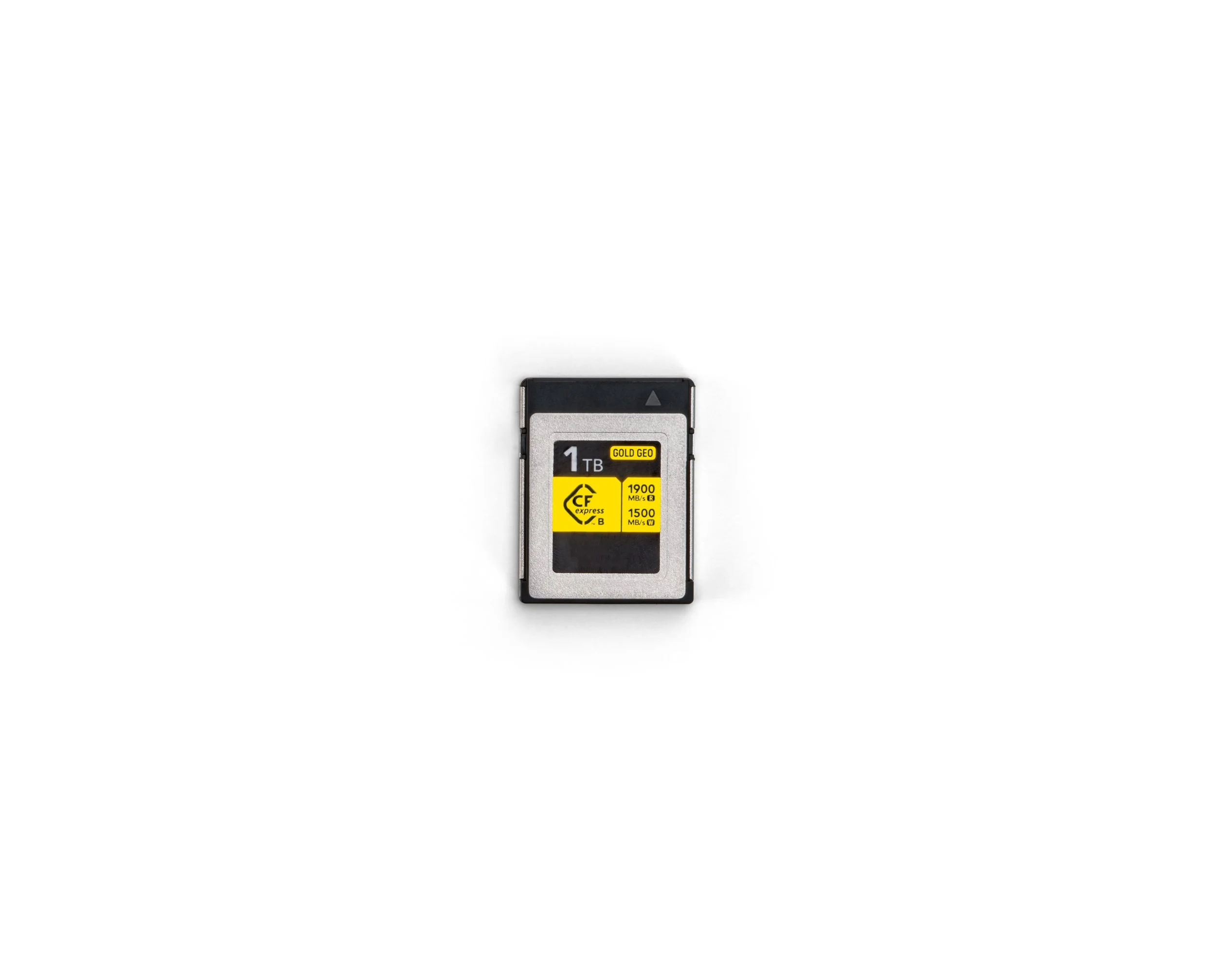
CFexpress Type B card storage for rapid high-throughput data capture.
Benefit: Smooth end-to-end workflow — plan, capture, and process within DJI’s enterprise ecosystem for faster delivery and minimal downtime.
📸 Add screenshot or image of DJI Terra software showing point-cloud processing.
🛡 DJI Care Enterprise Plus (Auto-Activated)
Every Zenmuse L3 from AiRS comes with DJI Care Enterprise Plus, activated automatically upon registration.
Priority replacement service for accidental damage.
Fast turnaround to minimise downtime on critical missions.
Benefit: Stay operational and protected with enterprise-level service coverage.


Applications

Mining & Quarrying
Replace manual stockpile measurements with fast, automated LiDAR scanning.
Comparable operations using DJI LiDAR have reported up to 70 % cost savings and major safety improvements over traditional helicopter and ground surveys (Fortescue Metals Group, 2024).

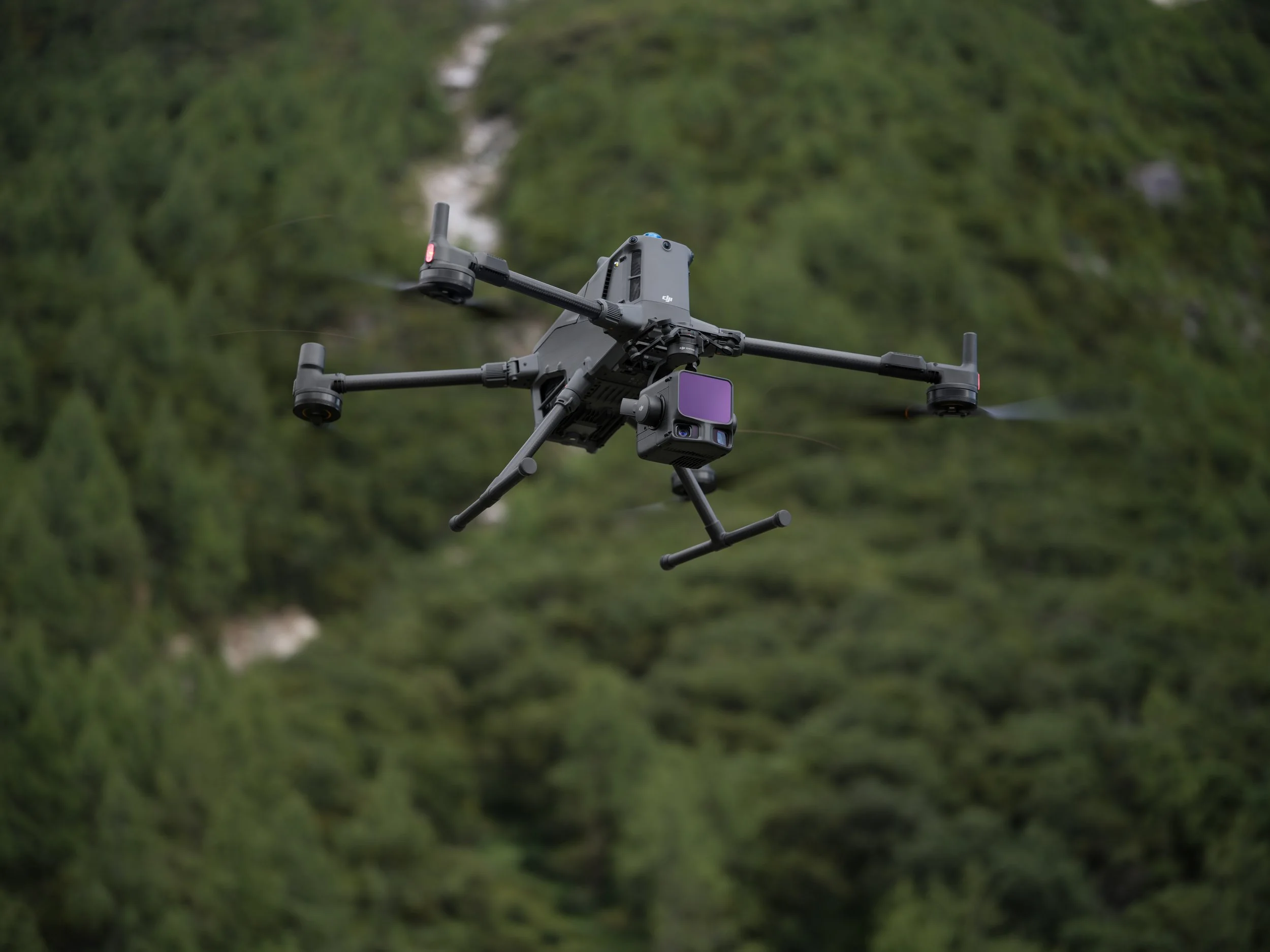
Forestry & Environmental Monitoring
Penetrate canopy cover with up to 16 returns per pulse.
Create high-fidelity terrain and vegetation models for resource planning.

Infrastructure & Utilities
Map bridges, rail corridors, and powerlines with sub-centimetre precision.
Rapid data collection in hard-to-access or hazardous areas.
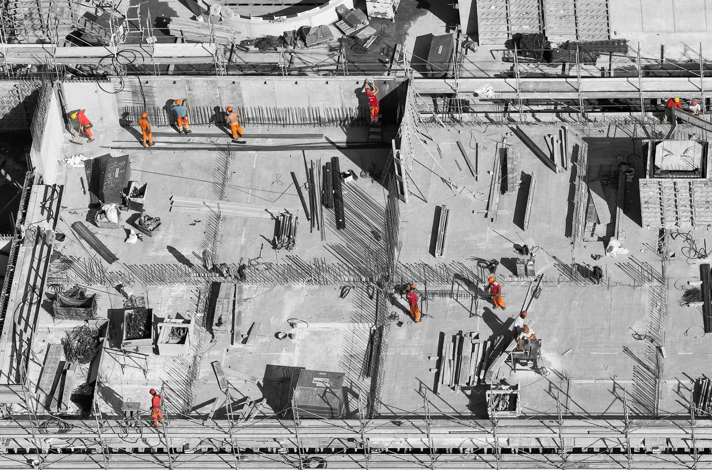
Urban Planning & Construction
Capture detailed 3D city models and elevation data for digital twins.
Align LiDAR and imagery for accurate site progress and compliance reporting.

Technical Specifications
LiDAR
Wavelength: 1535 nm (eye-safe Class 1)
Maximum Detection Range: up to 950 m (10 % reflectivity)
Maximum Returns: 16 per pulse
Vertical Accuracy: < 3 cm at 120 m AGL (in standard conditions)
RGB Mapping Cameras
Dual Cameras: 2 × 100 MP sensors
Field of View: 107° combined
Ground Sample Distance (GSD): approx. 3 cm at 300 m altitude
System & Workflow
Compatible Platforms: DJI Matrice 400 RTK (SkyPort 3.0 mount)
Supported Software: DJI Terra, DJI Modify, DJI FlightHub 2, DJI Pilot 2
Data Storage: CFexpress Type B card (up to 1500 MB/s write speed)
Typical Coverage: up to 100 km² per day (with M400 RTK)
Environmental & Reliability
Eye-safe Laser: Class 1 – 1535 nm
Designed for high-altitude, long-range, and all-weather industrial use
Factory-calibrated IMU and LiDAR alignment for high repeatability
Why Choose AiRS Automation
At AiRS Automation, we’re passionate about helping organisations get the most from the latest in drone and LiDAR technology. As an authorised DJI Enterprise Dealer, we supply genuine Australian-delivered hardware with full manufacturer support and warranty coverage. While major repairs are coordinated through DJI’s service network, our team assists with setup, configuration, and ongoing technical support to make sure your equipment performs as it should.
We specialise in building complete, practical solutions — integrating drones, sensors, and software into your existing workflows for surveying, mapping, and inspection. Our approach is hands-on and collaborative: we take the time to understand your needs, recommend fit-for-purpose systems, and guide you through implementation from first flight to final data output. With AiRS, you get a trusted local partner focused on reliability, transparency, and value — helping you work smarter, faster, and safer.