
Key Features
Up to 59 minutes of flight time (with standard payload configuration)*
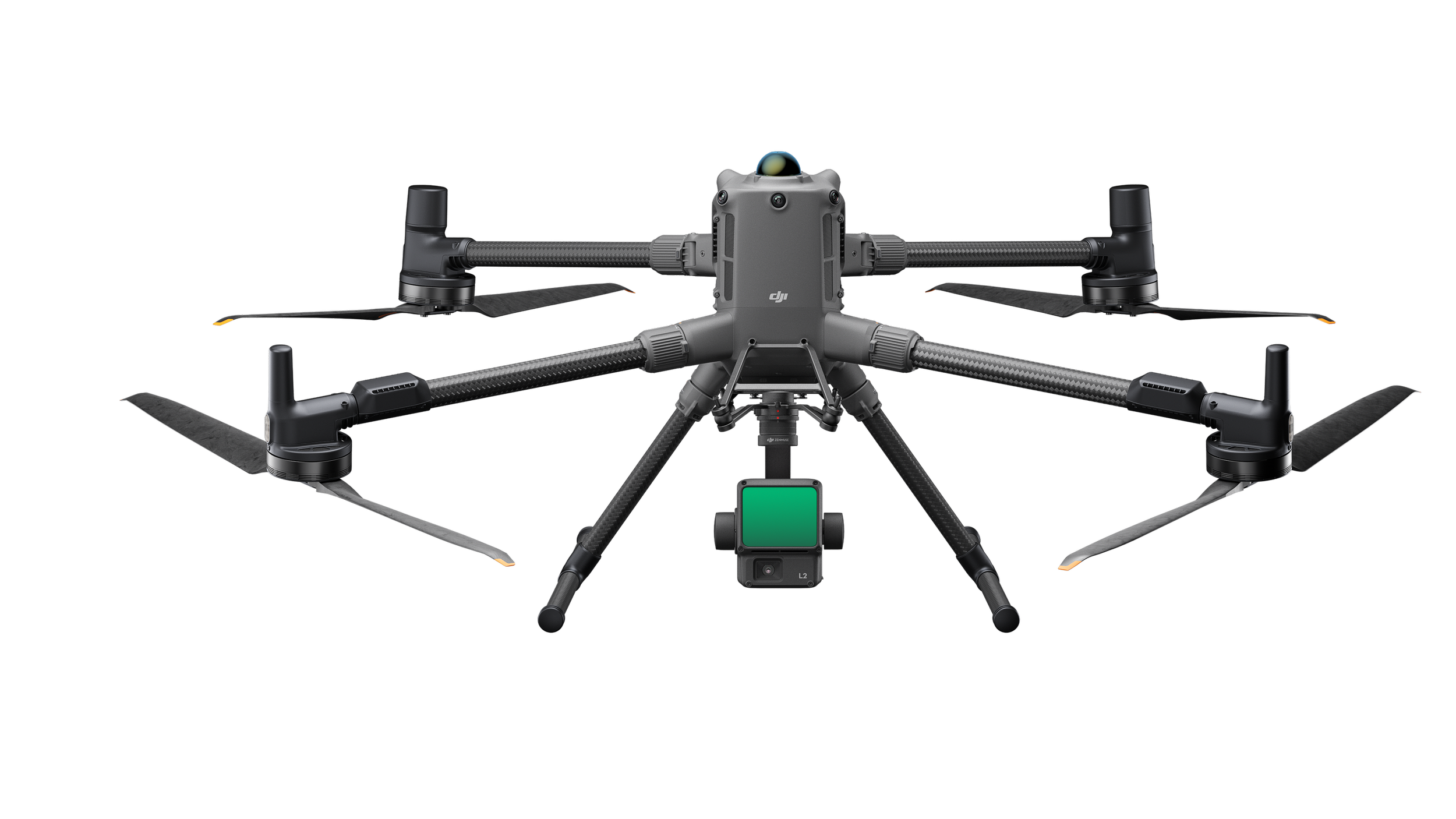
Payload capacity up to 6 kg, supporting multiple sensors, including LiDAR, thermal, and RGB cameras
Advanced obstacle sensing and navigation with:
360° rotating LiDAR for full environmental awareness
mmWave radar and six-direction visual sensors for precise operation in complex environments
40 km transmission range with DJI O4 Enterprise video system (in open, interference-free conditions)*
Multi-payload support (up to 7 configurations), enabling flexible mission design
High-precision RTK positioning for centimetre-level accuracy
DJI Care Enterprise Plus coverage, ensuring rapid replacement and extended support
*Performance metrics are based on DJI testing; results may vary depending on payload, wind, and environmental conditions. Check your regulations for rules around operations.
Real Applications for Government and Industry

Utilities and Infrastructure
Inspect bridges, transmission lines, and transport corridors with centimetre-level precision.
Identify asset deterioration early using thermal and visual payloads.
Plan and manage maintenance with digital twin models and accurate GIS datasets.

Surveying, Mapping, and Smart Cities
High-accuracy photogrammetry and 3D mapping for councils and infrastructure projects.
Used by Moreton Bay and Brisbane City Councils for digital twin development and asset management.

Environmental and Wildlife Monitoring
Monitor waterways, vegetation, and coastlines with minimal ecological impact.
Enable real-time data capture for environmental compliance, conservation, and restoration projects.
Support Queensland’s coastal and reef systems through precision mapping and change detection.

Public Safety and Disaster Response
Deploy quickly in disaster response, search and rescue, or hazard inspection.
Operate safely in low-visibility or high-risk conditions using mmWave radar and obstacle sensing.
Provide decision-makers with live, actionable intelligence during time-critical missions.
Technical Highlights
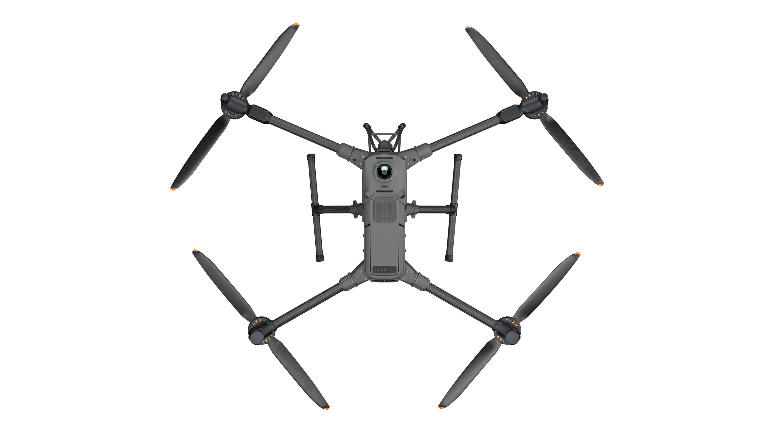
Airframe
Dimensions (unfolded): 980 × 760 × 480 mm
Maximum Take-Off Weight: 15.8 kg
Maximum Payload: 6 kg
Flight Time: Up to 59 minutes (no wind, standard payload)
Sensing & Navigation
Omnidirectional obstacle sensing with LiDAR and mmWave radar
Six-direction visual sensors
RTK dual-antenna GNSS module
Transmission & Control
O4 Enterprise transmission system (up to 40 km FCC)*
Dual control mode
DJI Pilot 2 interface and FlightHub 2 cloud management
Integration
Compatible with multiple DJI payloads, including the Zenmuse L3, P1, H30, and L2
Supports third-party payloads through DJI SDK
Support
DJI Care Enterprise Plus auto-activated for full coverage and rapid replacement
Local AiRS Automation assistance for setup, training, and integration

Not sure if you need theatric 400, 4T or the 4E, here is a comparison:
AiRS Recommendation
Choose the Matrice 400 RTK when your mission involves heavy sensors, LiDAR, or large-scale mapping that requires endurance and flexibility.
Choose the Matrice 4E when you need a cost-effective, all-in-one inspection platform that can deploy in minutes.
Choose the Matrice 4T when you require thermal and visual inspection capability or are operating in public safety or utilities.
Why Choose AiRS Automation
AiRS Automation is an Australian robotics and AI integration company supporting government and industry clients nationwide. We provide:
Local supply and maintenance support
Support for CASA compliance guidance and operator training
Custom payload integration (e.g., gas sensors, multispectral cameras, or ROS-compatible systems)
Full lifecycle support from procurement through to mission deployment

CASA Information can be found here.